
File:Gaborone Road Map.png
Size of this preview: 640 × 379 pixels.
| |
This is a file from the Wikimedia Commons. Information from its description page there is shown below.
Commons is a freely licensed media file repository. You can help. |
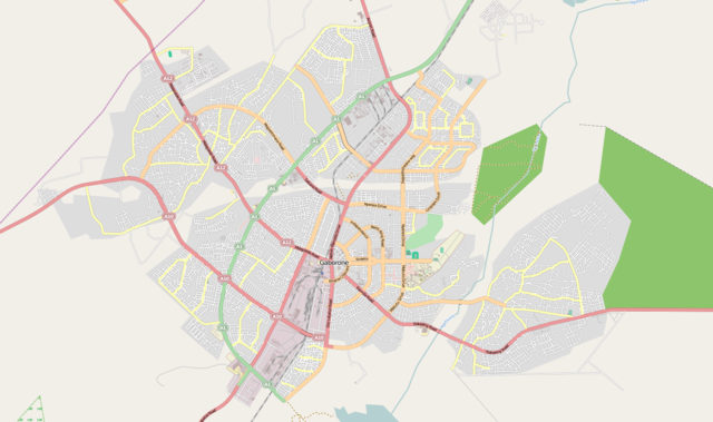
| Description | This map was created from OpenStreetMap project data, collected by the community. This map may be incomplete, and may contain errors. Don't rely solely on it for navigation. | |||||
| Date | (see file history) | |||||
| Source | See the image in its original context on the OpenStreetMap wiki page for Gaborone | |||||
| Author | OpenStreetMap contributors | |||||
| Permission ( Reusing this file) |
OpenStreetMap data and maps are licensed under the Creative Commons Attribution-ShareAlike 2.0 license (CC-BY-SA 2.0).
|
File usage
The following pages on Schools Wikipedia link to this image (list may be incomplete):
More information
Through Schools Wikipedia, SOS Childrens Villages has brought learning to children around the world. SOS Children's Villages is famous for the love and shelter it brings to lone children, but we also support families in the areas around our Children's Villages, helping those who need us the most. There are many ways to help with SOS Children.